The HydroDripZ Matrix: A GIS Technical Brief
To strip away the fluff: the HydroDripZ Map Matrix is a Hydrological Surveillance Grid. It is a GIS project built to expose the "Hidden Math" of water scarcity through high-resolution spatial auditing.
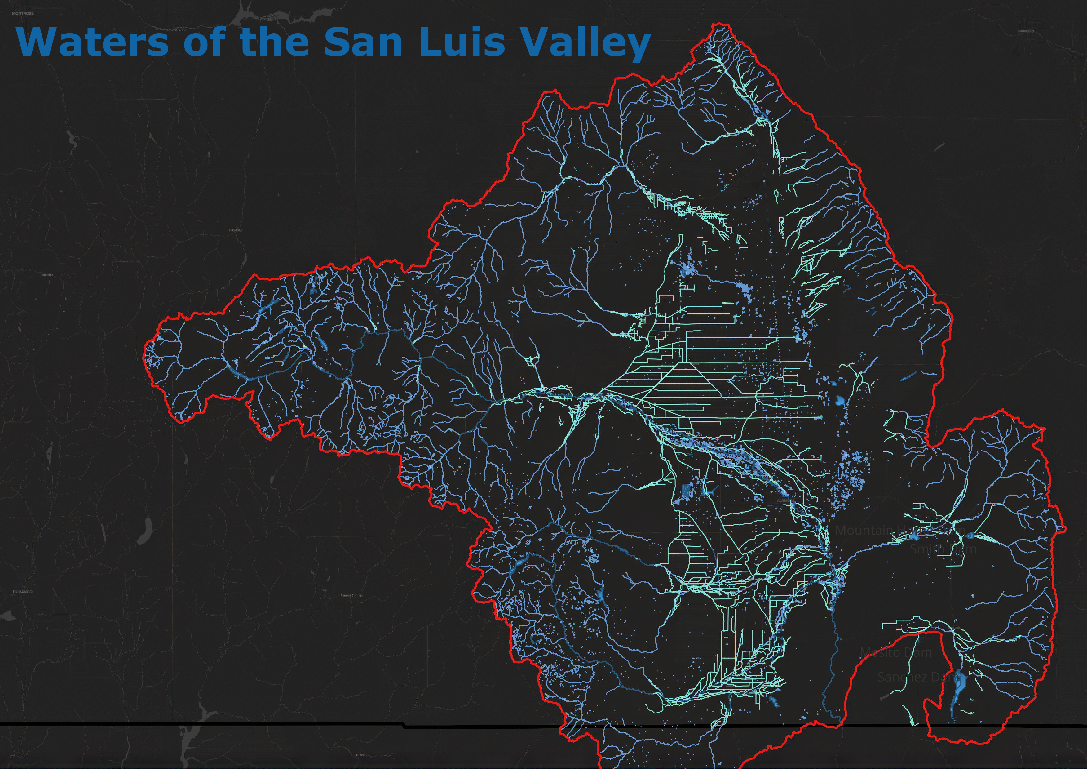
High-Res Spatial Data_Layer.v1
SENTINEL GIS DIVISION
SYSTEM_STATUS: ONLINE
PROJECTION: NAD83 / UTM ZONE 13N